Grand Cayman Map:
Where Everything Is
Here’s a Grand Cayman map, courtesy of Google Inc, to help you find the best part of the island or place to stay for a vacation or the cruise stop you’re planning.
And it provides an opportunity to really look at the island’s scenery in fine detail using the zoom feature.
Mainly, however, it should help you see what’s around your resort. If you’re in the West End, you can find restaurants and other places for entertainment.
If you’re in the central or East End, you’ll find the location of such places as the Botanic Gardens or the wildlife reserves.
Grand Cayman Map — Landscape and Scenery View
View Larger Map
West End and George Town

For those of you not familiar with the island, the West End is the vertical piece at the left side of Grand Cayman island, running due North.
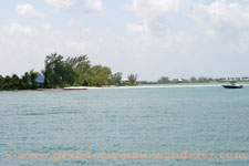
George Town is about a quarter of the way up and Seven Mile Beach begins just north of it. Zoom in and you’ll see what a fine beach it is.
George Town is also where you’ll find the shopping district, if you’re landing on the island for a cruise ship stop — zoom in on the map to see the dock.That’s also where you’ll pick up your island tour, if you’ve booked one.

As well, for cruise ship visitors, if you’re going to spend some time on a beach after your time at sea, turn left and you’ll be right at the southern end of Seven Mile Beach within a few minutes.
At the very tip, at the northernmost point, is Boatswain Bay, the Turtle Farm, and Barkers National Park.
The huge bay (it looks like a bay to me but I’m not a sailor) that bites into the island behind West End is North Sound.
When is a bay a sound or vice versa? Many of the homes on the North Sound shores, stretching from Barkers to the narrowest part of the island, are gorgeous — well worth the millions they cost.
Grand Cayman East End
The most northerly point on the eastern end of the Sound is Rum Point and Cayman Kai. Stingray City and Sandbar lie out in the sound midway between Rum Point and Barkers.

The journey from Rum Point to the West End by water is pretty short. However, on land it’s quite a hike.
Scan the Grand Cayman map eastwards until you see the road heading north across the island, about two-thirds of the length of the island.
Midway along that road, on your right as you head north, is the Queen Elizabeth Botanic Park.

The road rejoins the coast road at Old Man Bay. The satellite images make it plain how relatively built-up the West End and center of the island is and how relatively quiet the East End is. The East End is pretty well everything to the right of the road.
To locate a resort or hotel on Grand Cayman, visit our page Cayman Island Hotel Map and for the bigger picture — where to find the Cayman Islands on the globe — visit our page Cayman Islands Map.
Cayman Activity Guide has an interactive map on their ‘Maps’ page, which also gives you access to lots of discounts.
Return to Home Page from Grand Cayman Map

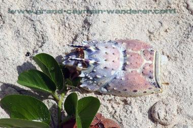
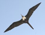

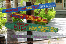


Cayman Pictures
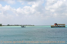
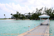
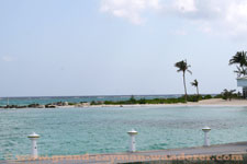
Cayman Pictures
To review Grand Cayman Wanderer's site information, visit our pages About Us, Disclaimer and Privacy Policy
'A wanderer on the face of the earth'
Charlotte Bronte, Jane Eyre and also Dorothy L. Sayers, Five Red Herrings
© Copyright 2007-2015 by Paul James, Grand-Cayman-Wanderer.com
Powered By
SBI!